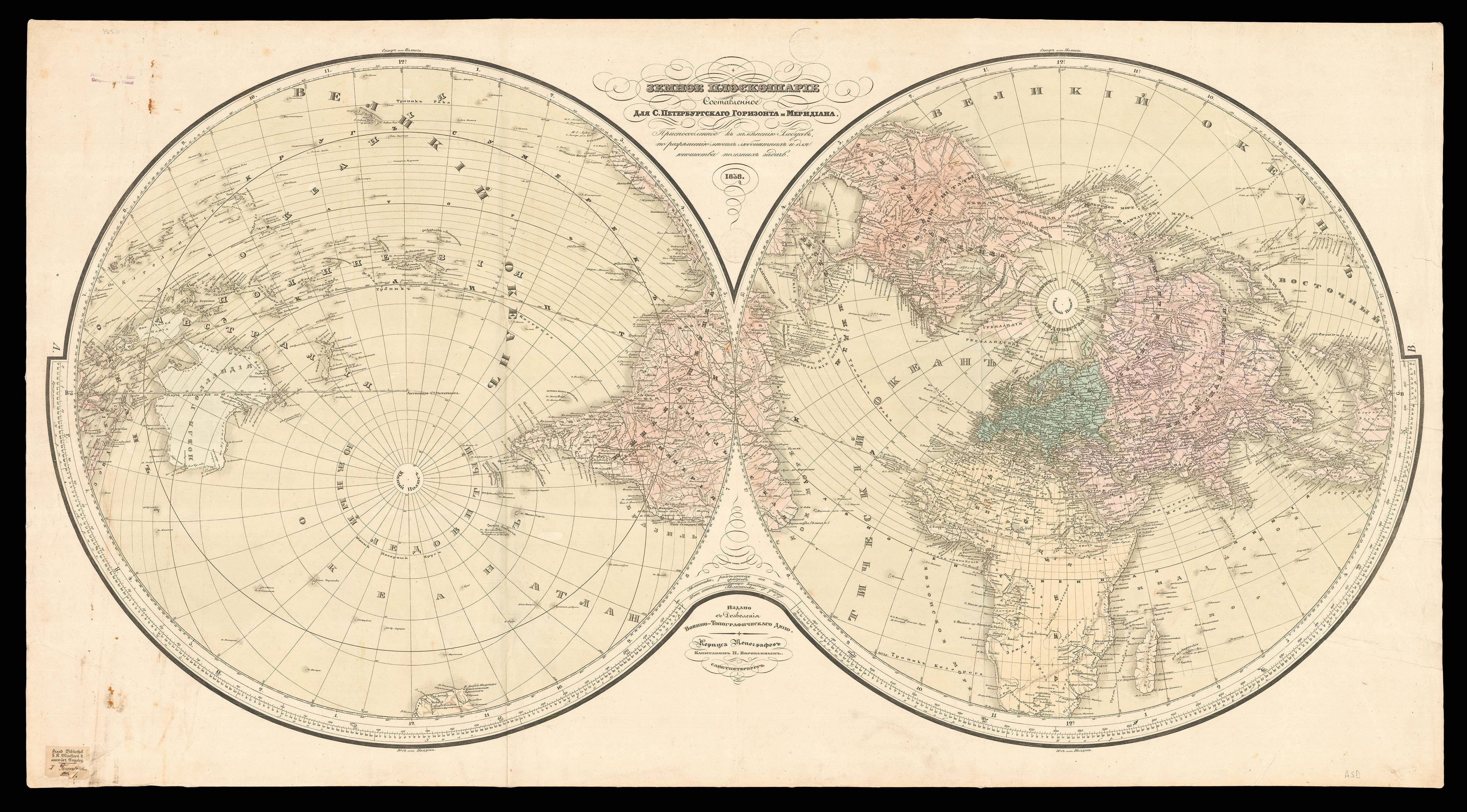
Orbis Terrarum Typus de Integro Multis in Locis Emendatus.
- 作者: LINSCHOTEN, Jan Huyghen
- 出版地: [Amsterdam
- 出版商: Chez Evert Cloppenburgh, Marchand libraire, demeurant sur le Water à la Bible Doree
- 发布日期: 1638].
- 物理描述: Engraved map.
- 库存参考: 3510
笔记
A double hemispheric world map. The spandrels are filled with four female personifications of the four known continents; America represented by three separate figures: Mexicana (presumably Central America), Peruana (South America) and Magallanica (an early name for North America). The women are accompanied by native animals. The American section shows the recently discovered animals of the New World: an armadillo, toucan, monkey and parrot. Although marked as both America and Mexicana on the map itself, the personification of North America is called Mexicana and South America appears as Peruana. The woman to the lower left riding an elephant, Magallanica, represents the mythical southern continent terra Australis, also called Magallanica. Magallanica was thought to be a tropical continent, hence the elephant and bird of paradise accompanying the woman; the map illustrates the contemporary belief that it joined with the archipelago Tierra del Fuego at the bottom of South America and spread over the southern pole. Although the Strait of Magellan, the passage between the Atlantic and Pacific Oceans, had been discovered in 1520, it was not until much later that navigators knew that the islands in Tierra del Fuego were not part of Terra Australis.
From the first book of Jan Huygen van Linschoten’s ‘Itinerario’, the first printed work to include precise sailing instructions for the East Indies. It allowed Dutch merchants to circumvent the Portuguese stranglehold on trade to the East. It was of such economic utility that “it was given to each ship sailing from Holland to India” and soon became “the navigator’s vade mecum for the Eastern seas” (Penrose).
Jan Huyghen van Linschoten (1563–1611) left the Netherlands for Spain in 1576 and secured passage to India in 1583 as secretary to Dominican Vicente da Fonseca, the newly-appointed Portuguese Archbishop of Goa, which gave him access to secret information, including the East Indies portolan charts guarded for over a century. With an impressive disregard for the trust placed in him, Linschoten began to copy these maps meticulously. On his return to the Netherlands, he wrote an account of his travels in 1595 with prints based on his own drawings and maps incorporating the information stolen from the Portuguese.
The first book is especially valuable for its eyewitness account of India, as one of the few Renaissance works on the East to be illustrated from life. Linschoten’s description of Goa is “one of the most original and reliable narratives prepared during the sixteenth century on life at the hub of Portugal’s Eastern empire and still is regarded as one of the best sources for Goa’s history at the peak of its glory”. The maps in the first book of the ‘Itinerario’ were engraved by Henricus van Langren, mainly using Portuguese maps owned by Cornelis Claesz, the original publisher of the ‘Itinerario’. They were mostly drawn by de Lasso, and originally acquired by the Houtman brothers between 1592-93, during their secret mission to Portugal at the suggestion of Petrus Plancius, the first official hydrographer of the VOC.
参考书目
- Church 252
- Lach, ‘Asia In The Making Of Europe’, Volume 1, pp.198–204 & 482–489
- Sabin 41373
- Shirley 187
- Tiele 686–88.
- JCB (3) II:271
- Klooster, 'Dutch in the Americas', p. 8 & Catalogue Item 5
- Palau 138584
- LOC European Americana 638/67
- David E. Parry, 'The Cartography Of The East Indian Islands', pp. 84–85
 地图
地图  地图集
地图集  珍本
珍本  版画
版画  天文仪器
天文仪器 


