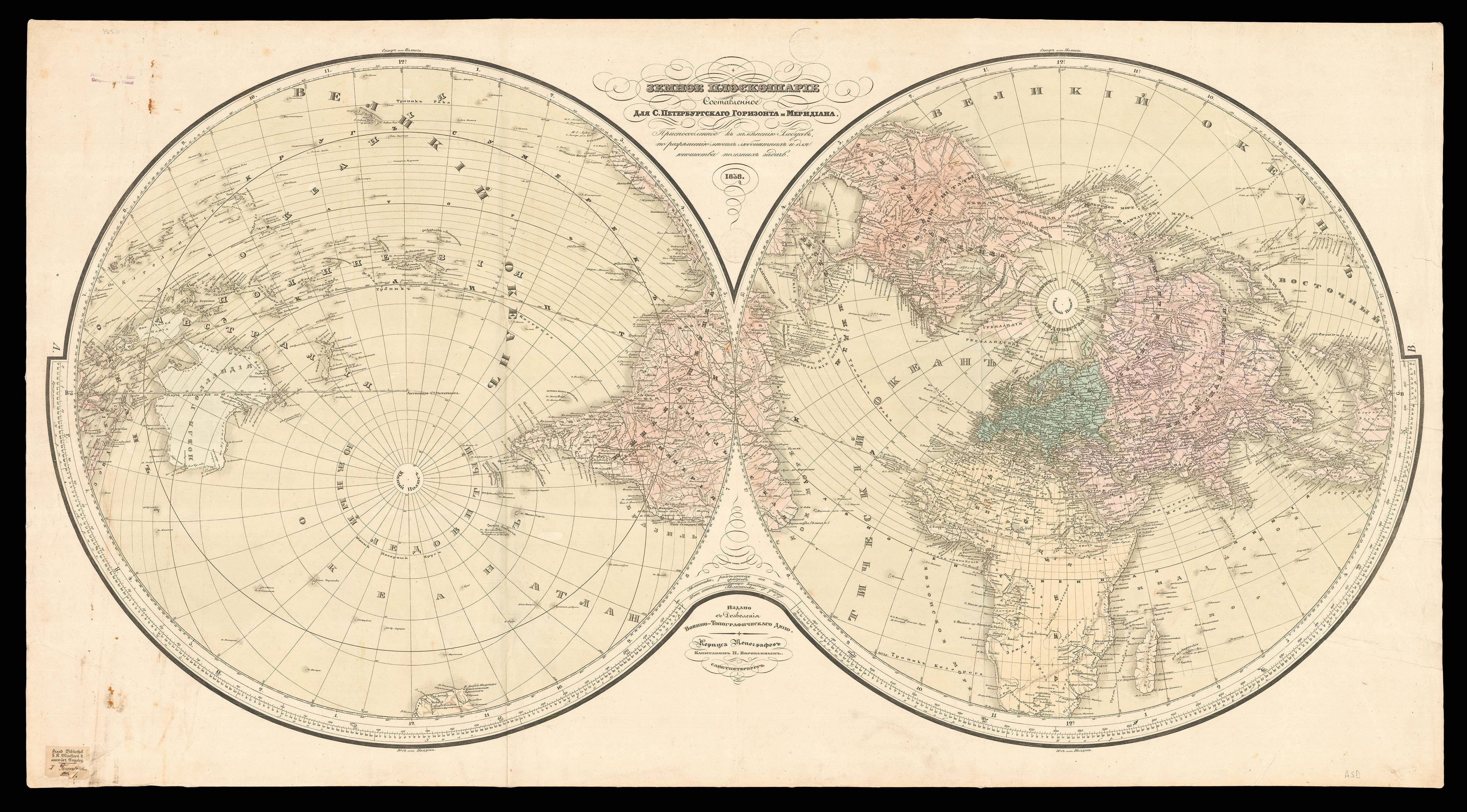
Untitled map of the World
- 作者: BORDONE, Benedetto di
- 出版地: Venice
- 出版商: [Nicolo Zoppino]
- 发布日期: 1534
- 物理描述: Woodcut map of the world, with contemporary hand-colour in outline
- 方面: 215 by 380mm. (8.5 by 15 inches).
- 库存参考: 3212
笔记
Bordone’s world map was the first widely circulated map showing the world on an oval projection (after Franco Rosselli’s 1508 version) and the first to appear in an ‘Isolario’. Bordone’s rendering of the Americas and Africa is modern. The Americas (Novo Mondo) appear on the left, but in drastically reduced form. Unlike Rosselli’s map, Bordone shows open water between the two continents and does not join North America and Asia. India and Ceylon remain Ptolemaic. Southeast Asia is modelled after the typical thinking of the time, a large subcontinent offsetting the Austronesian islands to the south. The outline of Japan is hypothetical, based on Marco Polo’s textual account.
From the second Zoppino edition of Benedetto di Bordone’s ‘Isolario’, published in 1534. Bordone’s (1460-1539) “Isolario…”, or book of islands, was the first printed isolario to encompass the entire world, the only printed isolario to precede it was the little book of Bartolomeo dalli Sonetti, 1485, which covered only the Aegean islands. The isolario was a popular genre that had first appeared in manuscript examples by Cristoforo Buondelmonte dating from the early fifteenth-century, Bordone expanded on the usual theme to encompass lands beyond the eastern Mediterranean, the Aegean archipelago and the Levant, to guide travellers to other parts of Europe and the world, stretching as far as the Indian Ocean, the African coastline and the New World.
Bordone’s work combines conventional and maritime cartography: the representation of settlements echo maps, and the coastlines are in the style of nautical charts.
参考书目
- Shirley, BL, T.BORD-1a
- Shirley, World, 59.
 地图
地图  地图集
地图集  珍本
珍本  版画
版画  天文仪器
天文仪器 


