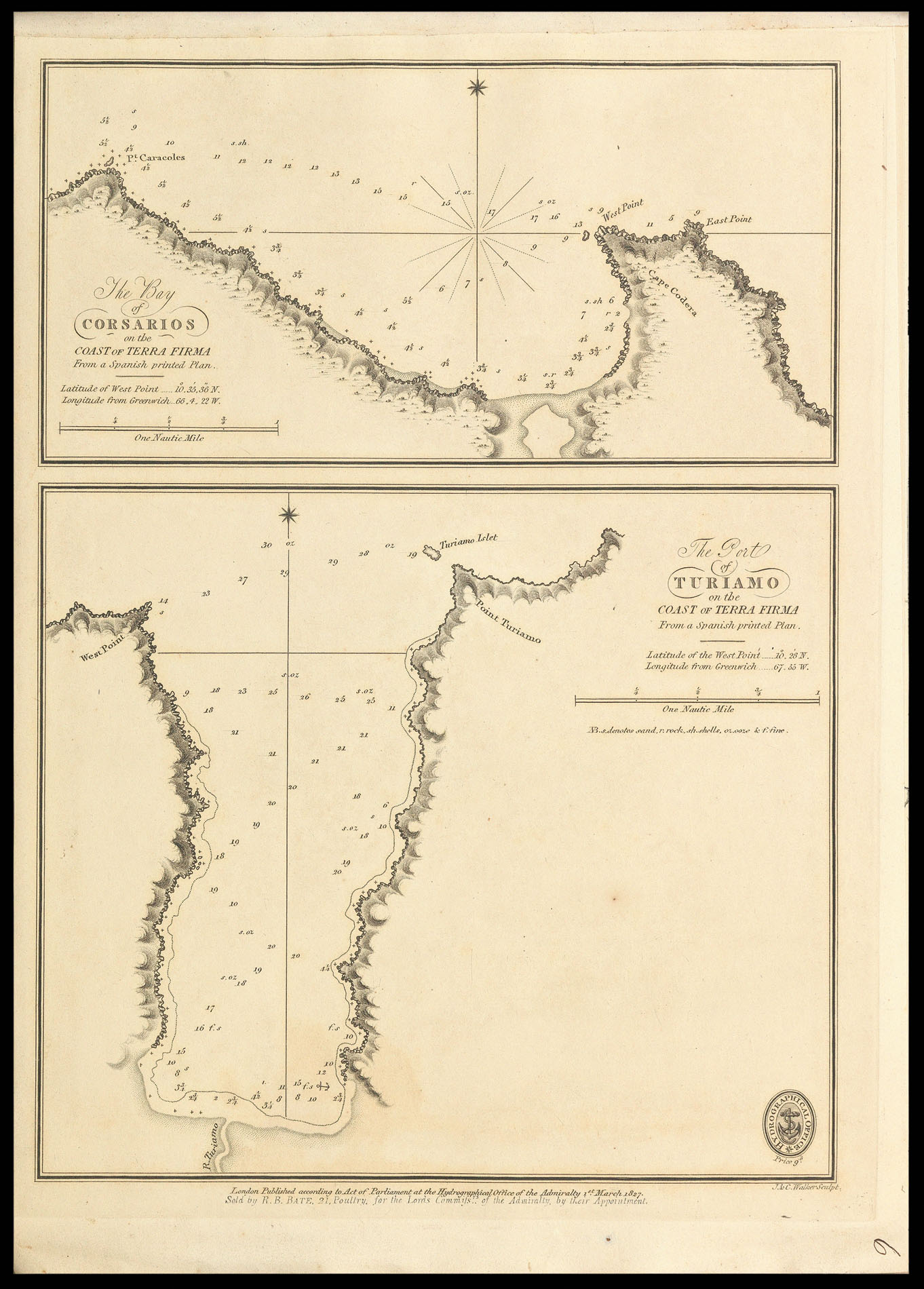


Admiralty charts of Venezuela The Bay of Corsarios on the Coast of Terra Firma; The Port of Turiamo on the Coast of Terra Firma; The Port of Mochima on the Coast of Terra Firma; The Bay of Unare on the Coast of Terra Firma; The Bays of Porto Santo on the Coast of Terra Firma; The Bay of Carupano on the Coast of Terra Firma; The Bay of Esmerelda on the Coast of Terra Firma; The Bays of Pampater and Port Moreno in the island of Margarita [and] The Port of Laguna Grande del Obispo in the Gulf of Cariaco.
- 作者: Various authors
- 出版地: London
- 出版商: Hydrographical Office of the Admiralty
- 发布日期: 1826-27.
- 库存参考: 11603
笔记
Five rare Admiralty charts of the coast of Venezuela.
Some of the charts’ titles state that they were copied from a ‘Spanish printed Plan’, referring to the ‘Portulano de la America Setentrional’, a work published by the Spanish Admiralty in 1809, and containing 111 charts of the Caribbean and Gulf of Mexico. A second edition of the pilot was published in 1818 with 121 charts.
John and Charles Walker, founding members of the Royal Geographic Society, were leading mapmakers and engravers working in London in the first half of the nineteenth century. They are known to have produced numerous charts for James Horsburgh and the Admiralty.
 地图
地图  地图集
地图集  珍本
珍本  版画
版画  天文仪器
天文仪器 


