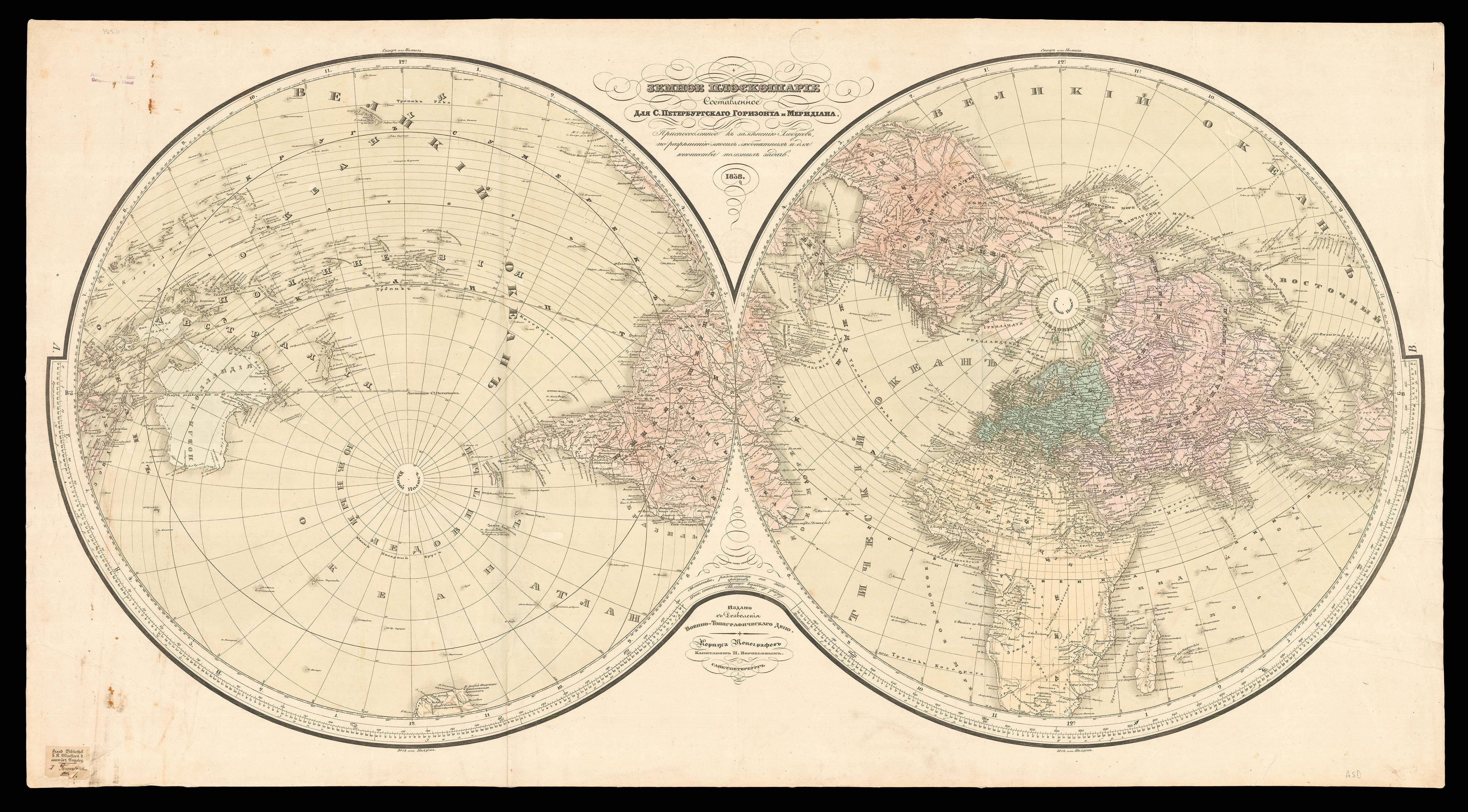


[Manuscript atlas of the world].
- 作者: TUDOR, Elizabeth and Isabella
- 出版地: [England
- 发布日期: c1825-1827].
- 物理描述: Manuscript atlas (268 by 226mm), bound in half-calf with marbled paper.
- 库存参考: 12601
笔记
This fascinating manuscript atlas is the work of two young sisters in the early nineteenth century. Maps have historically been an essential part of geographical education, with the first jigsaw puzzle emerging in the form of a dissected map in the mid-seventeeth century. Other exercises involved copying out, or even stitching, maps of various parts of the world. The present atlas appears to be one such example, containing two charts of the World, two maps of Europe, two maps of England and the British Isles, and various others of notable European countries and global continents.
The 20 maps within the atlas are:
1. Chart of the world [Titled Elizabeth Tudor, 14th March 1825(?), 3rd Map]
2. Chart of the world [Titled Isabella Tudor, 16th March 1826, 3rd Map]
3. Europe [Titled Elizabeth Tudor, 1st Map]
4. Europe [Initialised I.T.]
5. England
6. England
7. Ireland
8. Scotland [Titled 2nd Map, 1826]
9. France in Provinces
10. France in Departments [Dated 1826]
11. Spain and Portugal
12. Sweden and Norway
13. Germany
14. Canaan or Judea [Initialised I.T.]
15. Hindostan – The Peninsula of India and Pakistan [Titled Elizabeth Tudor 1827]
16. South America [Initialised I.T.]
17. Africa [Initialised I.T.]
18. Grecia Antiqua – Ancient Greece [Initialised I.T.]
19. Grecia pars borealis – Northern Greece [Titled Isabella Tudor]
20. Grecia pars meridionalis cui nomen Peloponnesus – Southern Greece which is named the Peloponnese [Initialised I.T.]
The cartographers are named as Elizabeth and Isabella Tudor, their initials found on the maps that they contributed to the atlas, along with the dates of creation, which range 14th “March 1825” to “1827”. It is possible that Elizabeth and Isabella were the children of William Tudor and Dorothy Fenwick, who lived in Bath and had three daughters: Dorothy Susan Tudor (1809-1891), Isabella Tudor (1811-1890) and Elisabeth Jane Tudor (1813-1809). The two younger sisters, 12 and 14 respectively, may have undertaken the atlas as a project or as a task set as part of their schooling. William Tudor had served as Staff Surgeon under the Duke of York and was later promoted to Inspector of Hospitals, indicating that the Tudor family would have had the means to ensure their daughters were given a good education. It is likely that the girls copied the maps from a children’s atlas, which were popular tools for the teaching of geography at this time.
 地图
地图  地图集
地图集  珍本
珍本  版画
版画  天文仪器
天文仪器 


