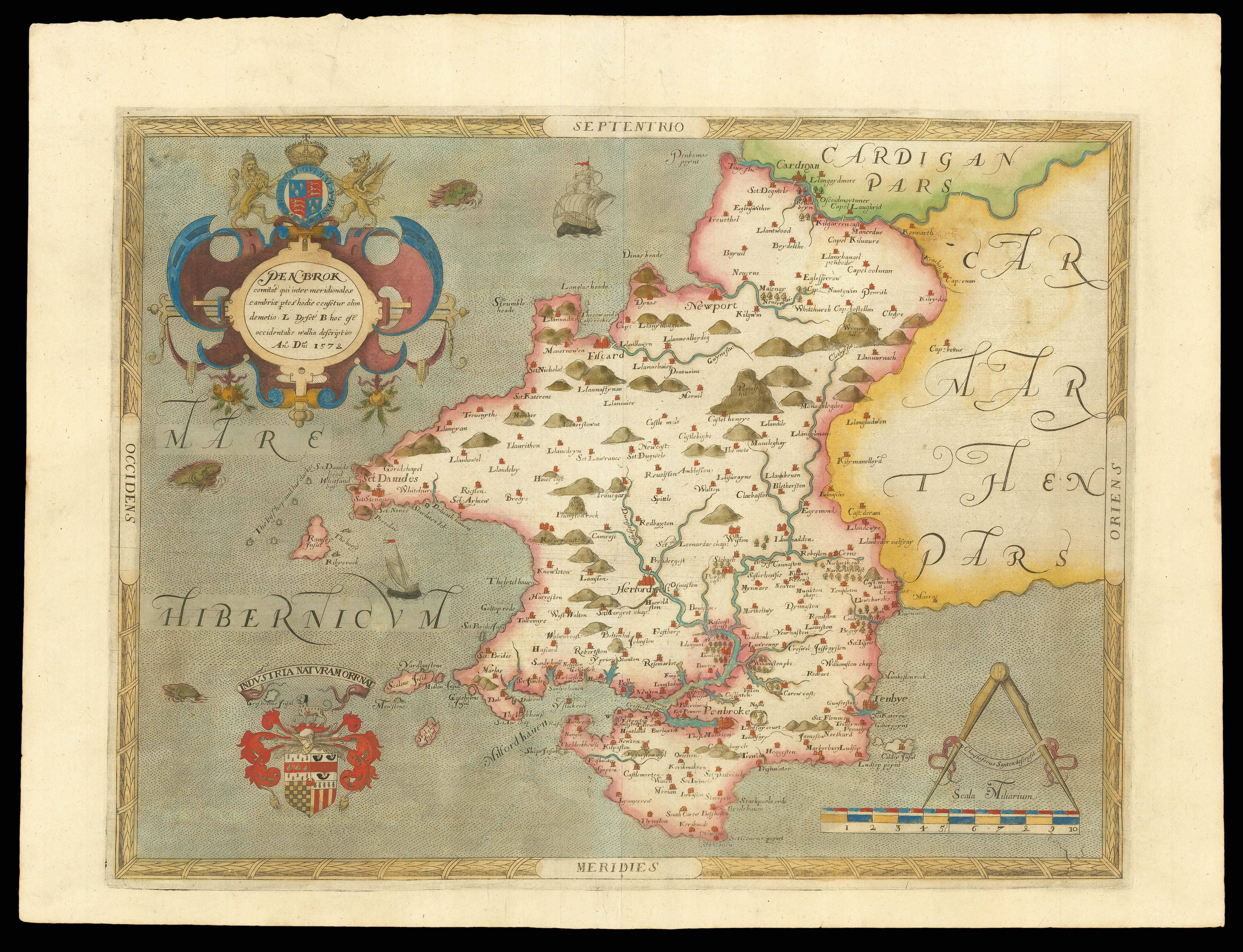
A Map of ye Mannors of Sprodbrong Newton and Cateby in ye West Riding of the County of York Survey’d for Godfrey Copley Esq. by Jo. Colbeck Ano. Dom. 1728.
- Author: COLBECK, Jo[seph]
- Publication place: Sprotbrough
- Publication date: 1728.
- Physical description: Large manuscript survey, fine original hand-colour, on two pieces of vellum, joined, some dust soiling.
- Dimensions: 710 by 1800mm (28 by 70.75 inches).
- Inventory reference: 2166
Notes
Large and detailed eighteenth century survey of the Copley Estate and its environs in the West Riding of Yorkshire.
Surrounding the map are several tables providing information upon the owners of the land, outlined in the survey, together with table denoting the various parishes that bounded the estates. Numerous pencil sketches abound with deer depicted in ‘New Park’, the Sprotbrough Hall to right of Sprotbrough, and divisions within the fields. The plan is bounded at to the south by the River Dunn.
Godfrey Copley (1706-1761), had inherited Sprotbrough Hall and estate after his father Lionel Copley passed away in 1719; who himself have inherited the estate in 1709 after the demise the 2nd Baronet Godfrey Copley (1653-1709), whom had built Sprotbrough Hall, in the late seventeenth century. The 2nd Baronet name would be immortalised by the Copley Medal. Instituted in 1731 by the Royal Society – after a bequest of £100 in Copley’s will – the medal is award annually for “outstanding achievements in research in any branch of science”. It would appear that the surveyor of the map, Joseph Colbeck was in the employ of Godfrey Copley – as he was named in two documents housed within the National Archives at Kew: Steward to Godfrey Copley, in 1749, and 1759.
Scale: (approx.) 13 inches to statute mile.
Bibliography
- National Archives: DD/CROM/6/7
- DD/CROM/6/8.
 Rare Maps
  Rare Atlases
  Rare Books
  Rare Prints
  Globes and Planetaria


