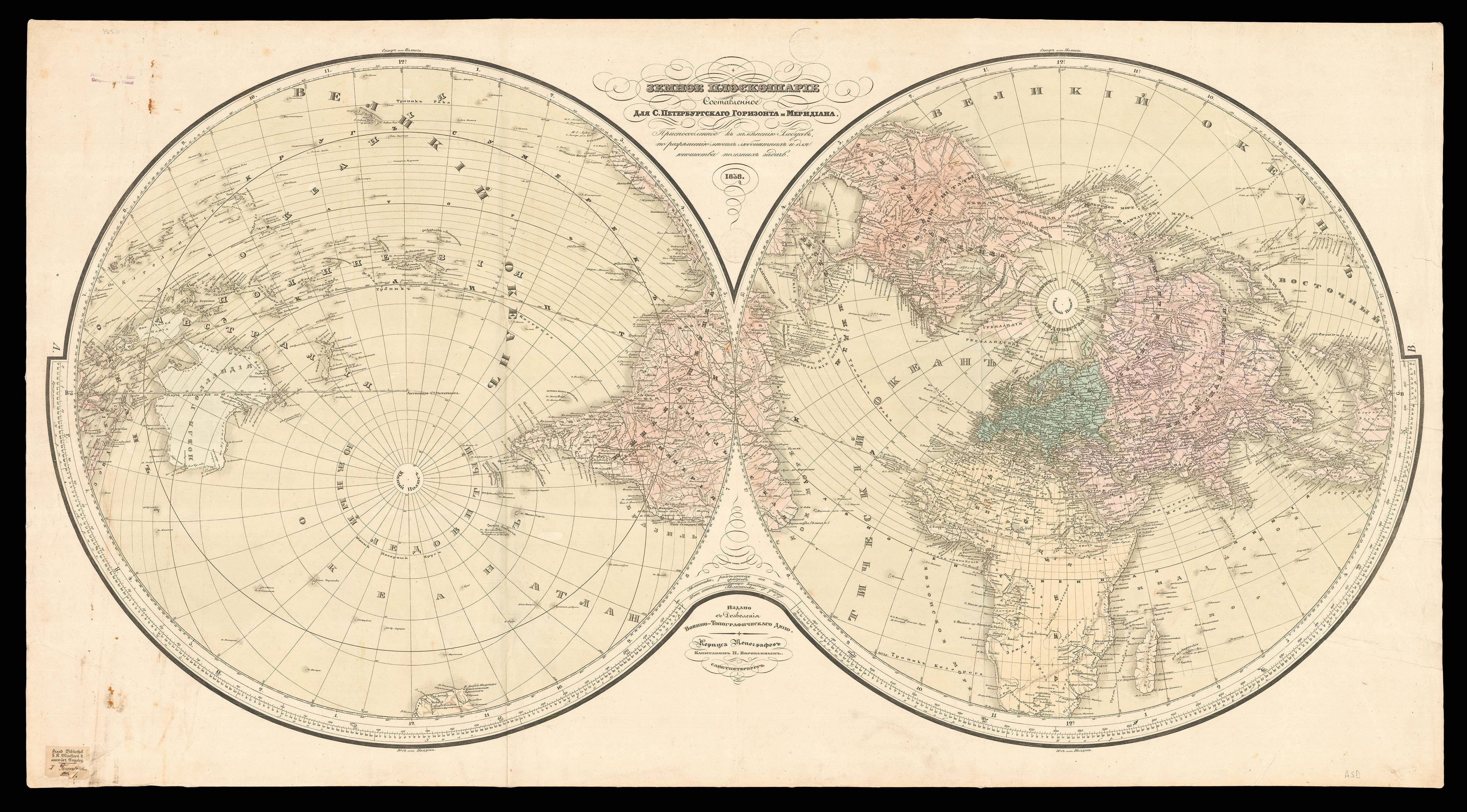


Orbis Terrarum Nova et Accurata Tabula.
- Author: WIT, Frederick de, and Gerard VALK
- Publication place: Amsterdam
- Publisher: Gerard Valk
- Publication date: c1690-1700
- Physical description: Hand coloured engraved double-hemisphere map on four sheets, joined and mounted on linen.
- Dimensions: 840 by 920mm. (33 by 36.25 inches).
- Inventory reference: 3156
To scale:

Notes
An unrecorded wall map of the world.
A highly decorative world map from the ‘Dutch Golden Age’. The map consists of a twin hemisphere world map, together with two polar projections. Surrounding the map are personifications of the four seasons (from upper left to lower right): spring, a dancing bear breasted Persephone is garlanded with spring flowers; summer, Ceres brings in the wheat harvest; autumn, Dionysis accompanied by satyrs and cherubs, collects the grape harvest, and adorn a herm with vines; winter, represented by strong man carrying a stick, Boreas the north wind can be seen blowing, whilst cherubs gut fish.
The map is based upon Frederick de Wit’s terrestrial world map executed in about 1670-1680 (Shirley 451). This magnificent map must have been published between 1690 and 1700, as the imprint which appears on the pedestal of the garlanded herm in the lower left plainly gives the place as ‘op d’Dam inde Wackeren hont.’ Gerard Valck and his family moved into this house (where the Hondius family had previously lived) in about 1690. A terminus ante quem of approximately 1700 is provided by a variant of this map which includes the name of Leonardus, Gerard’s son, and, although smaller, contains new details such as the supposed Mer Glaciale in northernmost America (Shirley 638). Both this later map, an earlier Valck world map (Shirley 531 & 532, giving incorrect date of c.1686).
Shirley believes that Valk’s world maps were based on Jaillot’s influential Mappe-Monde of 1674, but in fact all three bear a much closer relationship to de Wit’s map. The present map shares many of de Wit’s cartographic elements, particularly in the polar projections; but there are also numerous differences, some partly explained by this Valk map being on a larger scale than the original de Wit map, allowing greater detail and decoration. For instance, the gap between the words ‘America’ and ‘Meridio’ in Brazil are now decoratively filled with a native village and a battle scene; in other areas, such as the outline of the coast of New Zealand, the toponyms are engraved quite differently. The north-eastern coastline of Asia in the present work also bears a closer resemblance to the 1666 world map of Jan van Loon (Shirley 439).
Bibliography
- C.f. Shirely 451 for De Wit example.
 Rare Maps
  Rare Atlases
  Rare Books
  Rare Prints
  Globes and Planetaria


