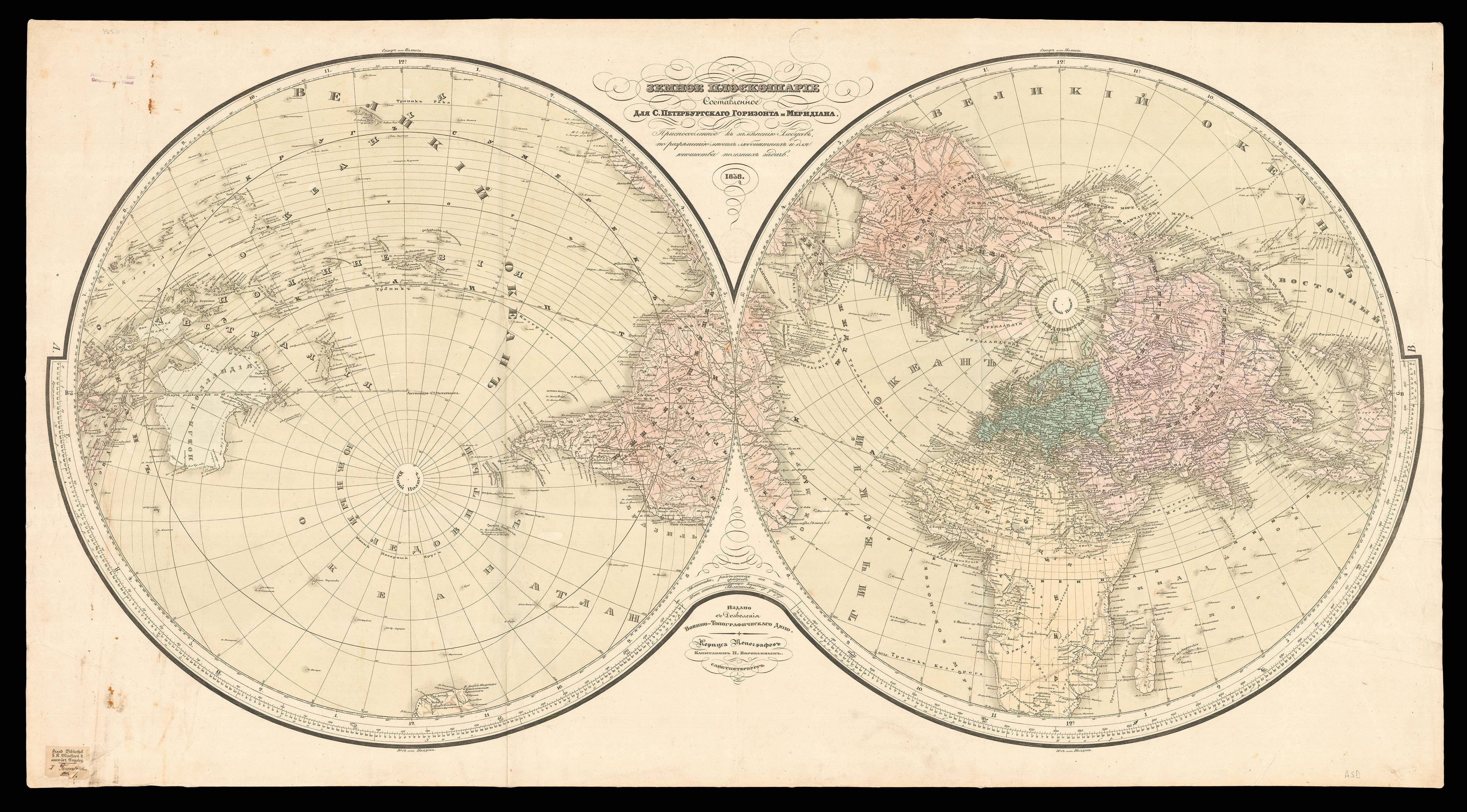
To the Officers in the Honourable East India Company's Service This Outline Chart Intended for their Use to Prick Off a Ship's Track Is most respectfully dedicated by their Obliged and Grateful Servant, W. Heather. A New Edition, 1820, Revised & Corrected by J.W. Norie. with Additions to 1830.
- Author: HEATHER, William [and], J[ames] W[illiam] NORIE
- Publication place: London
- Publisher: Published, as the Act directs, by W. Heather, at the Navigation Warehouse, No. 157, Leadenhall Street
- Publication date: Sept. 12th, 1812. [but 1815].
- Physical description: Engraved chart, backed on linen, edged in green slik, with some loss to the Atlantic and west coast of Africa.
- Dimensions: 660 by 1200mm (26 by 47.25 inches).
- Inventory reference: 2201
Notes
Rare chart of the world published for use aboard East India Company ships, in order to mark a ships track.
John William Norie (1772 – 1843) was a mathematician, hydrographer, chart maker and publisher of nautical books. His most famous work was the ‘Epitome of Practical Navigation’ (1805), which became the standard work on navigation and went through many editions. Norie began his career working with William Heather, who ran the Naval Academy and Naval Warehouse in Leadenhall Street from 1795, which sold navigational instruments, charts, and books on navigation. Norie took over the Naval Warehouse after Heather’s retirement and founded the company J.W. Norie and Company in 1813. After Norie’s death the company became Norie and Wilson, then in 1903 Imray, Laurie, Norie & Wilson.
Bibliography
- c.f. Tooley 925, for 1827 edition.
 Rare Maps
  Rare Atlases
  Rare Books
  Rare Prints
  Globes and Planetaria


