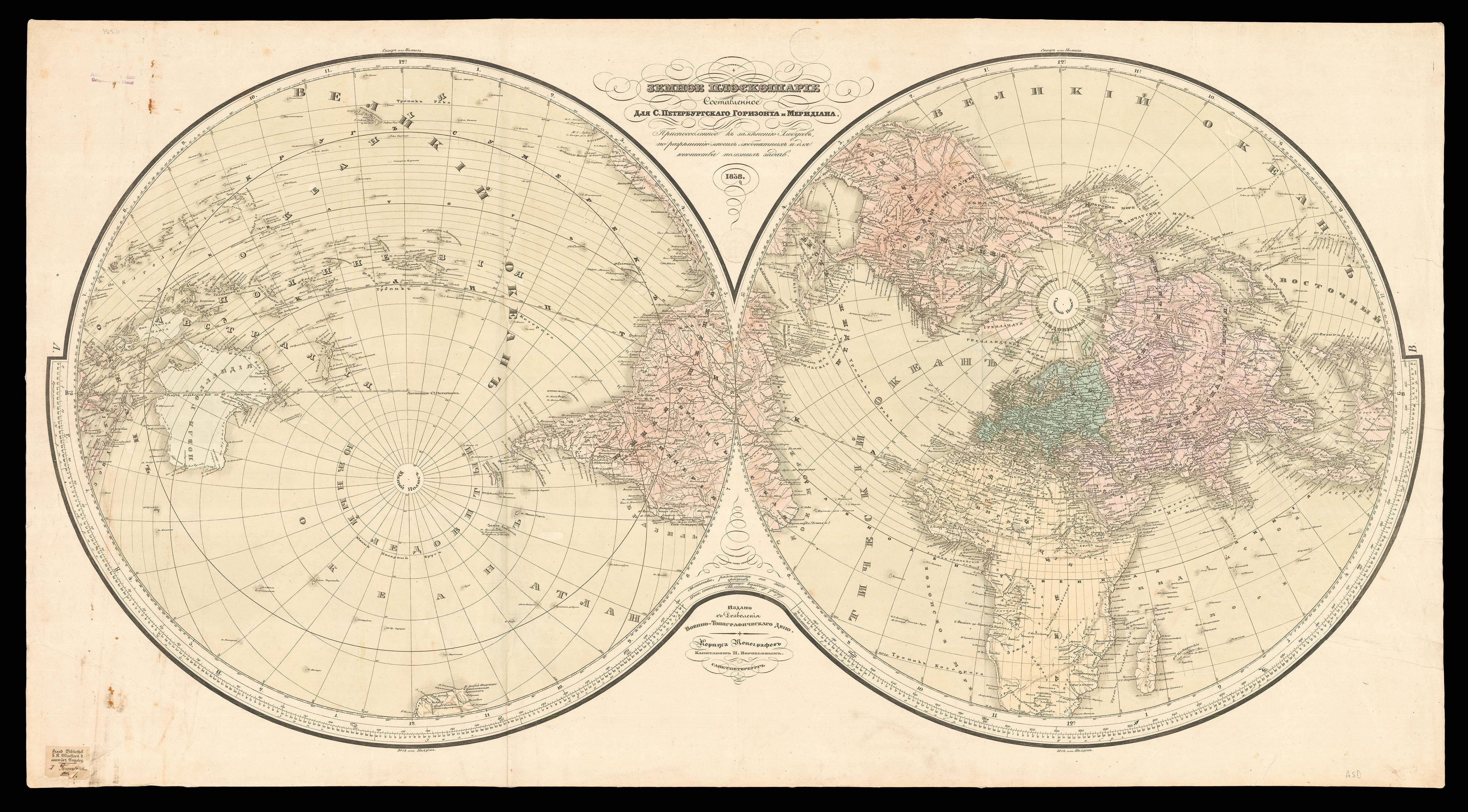

Orbis Terrae Compendiosa Descriptio Quam ex Magna Universali Gerardi Mercatoris. Domino Richardo Gartho, Geographic ac ceterarum bonarum artium amatori ac fautori summo, in veteris amicitie ac familiaritatis memoria Rumoldus Mercator fieri curabat A.o M.D. Lxxxvii.
- Author: MERCATOR, Rumold
- Publication place: Geneva
- Publication date: 1587 [1595].
- Physical description: Double-hemisphere engraved world map, fine original colour, with four lines of text in Latin beneath the map, no text on verso.
- Dimensions: 385 by 520mm. (15.25 by 20.5 inches).
- Inventory reference: 14984
Notes
The map is double-hemisphere, within an ornate strapwork frame containing an armillary sphere and compass rose. California shown as part of the mainland, there is the distinctive bulge in South America, and the kingdoms of Beach, Lucach and Maletur are shown as part of the mythical southern continent “Terra Australis”.
The map was first published in Strabo’s ‘…Geographicarum libr XVII’, with text beneath the map headed “Lectori S.P.”, and no text on the verso. In 1587 Rumold Mercator issued a reduced version of his father’s great modern world map, which had first been printed in an edition of Strabo’s “Geographia”. It was another eight years before it first appeared in a Mercator atlas, in 1595.
The present map with the four columns of text below, and no text to the verso, appeared in the 1595 first edition of Mercator’s Atlas. The map is distinguishable from the later editions of the map, which are marked by a signature letter ‘A’ to the verso.
Bibliography
- Shirley 157.
 Rare Maps
  Rare Atlases
  Rare Books
  Rare Prints
  Globes and Planetaria


