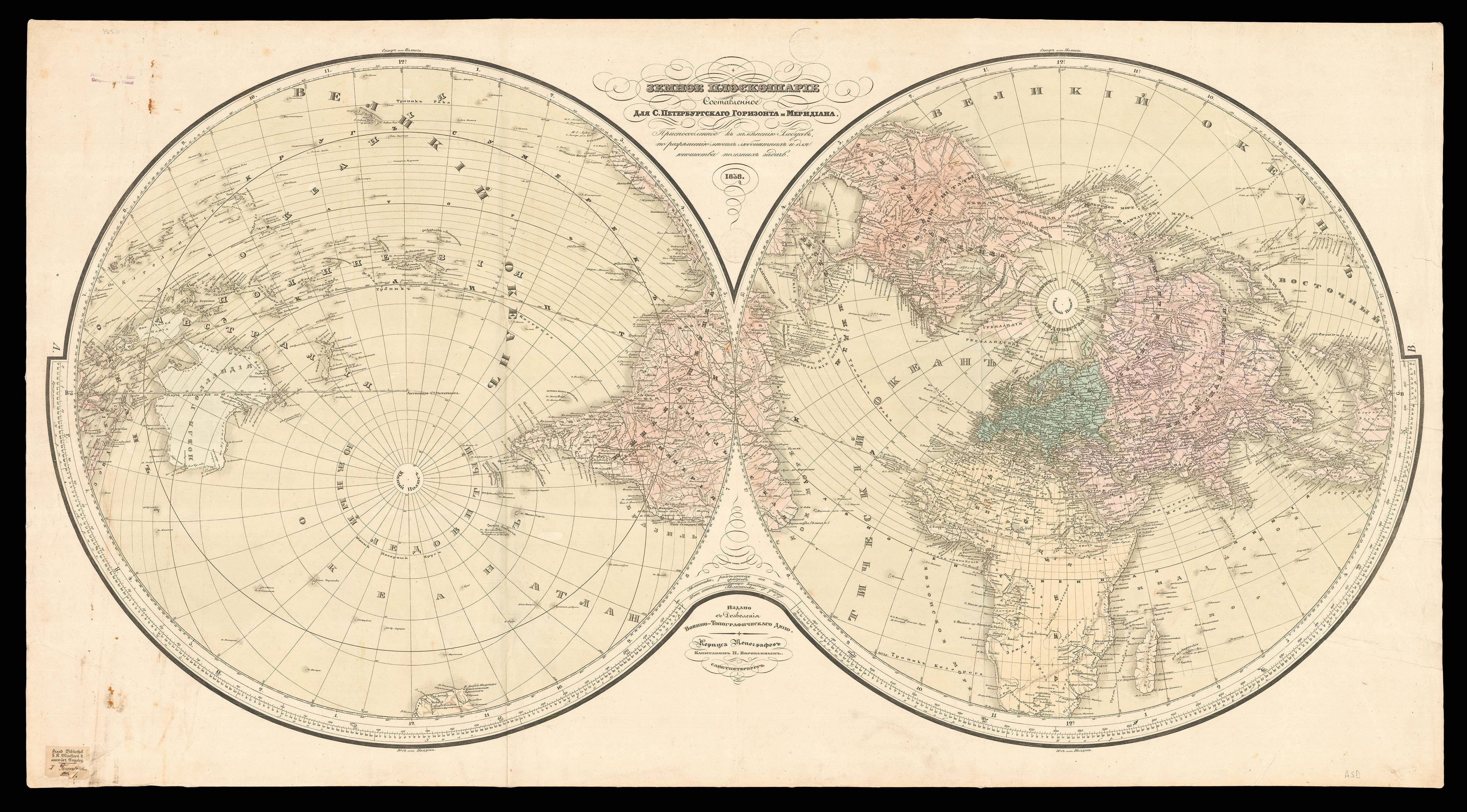
Hemispheriu ab Aequinoctiali Linea ad Circulu Poli Arctici. Hemispheriu ab Aequinoctiali Linea, ad Circulu Poli Atarctici.
- Author: DE JODE, Cornelis
- Publication place: Antwerp
- Publication date: 1593.
- Physical description: Double page engraved map, hand-coloured, small tear to upper margin skilfully repaired.
- Dimensions: 320 by 520mm. (12.5 by 20.5 inches).
- Inventory reference: 18802
Notes
One of the two new world maps published in the final edition of De Jode’s ‘Speculum’ in 1593.
The present map is extremely distinctive, drawn as two hemispheres on North and South polar projections, a style rarely used by sixteenth century cartographers. Drawing on a range of sources, particularly Guillaume Postel’s 1581 ‘Polo Aptata Nova Charta Universi’ and an anonymous set of gores from c1587, De Jode’s map demonstrates not only the wealth of geographical insight generated by early European exploration, but also the limits of contemporary knowledge. On the one hand, the Northern hemisphere presents the continents of Europe, Asia, Africa and North America in great detail. The cartography is generally accurate, most major cities are named and relief is shown pictorially. On the other hand, however, India is shaped quite irregularly, and several of the south-east Asian islands are incorrect, either in name or in location.
Similarly, while the American coast is well-drawn, the continent lacks many details, having not yet been thoroughly explored and mapped. It also contains a few mythical cities, such as Quivira and Civola. Similarly, although the land shown around the circumference of the Southern hemisphere is generally accurate, the second half of the map is dominated by the evidently erroneous ‘Terra Australis Incognita’. As a result of the polar hemisphere projection, the land closest to the Equator has been compressed; consequently, there appears to be little space between Asia and America, with Japan equidistant between the two continents.
The map appeared in the last edition of the de Jodes’ atlas ‘Speculum orbis terrae’. The ‘Speculum’ was first published in 1578 by Gerard de Jode (1509-1591) with text by Daniel Cellarius. It was designed to compete with Abraham Ortelius’ atlas, ‘Theatrum Orbis Terrarum’, which had been published eight years earlier. Ortelius had used his influence to disrupt de Jode’s application for a royal privilege. By the time this was finally granted, seven years after the publication of the ‘Theatrum’, Ortelius’ work had become so popular that de Jode’s atlas did not sell well, despite the accuracy and clarity of his maps. His son Cornelis (1558-1600) continued his father’s publishing business after studying at Douai. He produced an enlarged edition of the ‘Speculum’ in 1593, which Gerard had been planning before his death.
The present map appeared for the first time in that edition, along with another world map (Shirley 165). The individual maps may have been issued separately without text, prior to the publication of the atlas. Although sales of de Jode’s work were less than ideal, the atlas was evidently held in high regard, with several contemporaries citing its importance alongside the atlases of Mercator and Ortelius. Few examples of either edition of the ‘Speculum’ have survived, making the maps within a rarity.
Bibliography
- Shirley World 184.
 Rare Maps
  Rare Atlases
  Rare Books
  Rare Prints
  Globes and Planetaria


