 Rare Maps
  Rare Atlases
  Rare Books
  Rare Prints
  Globes and Planetaria
 Sign up to hear about our latest acquisitions, exhibitions and events


Find Us
New York
PO Box 329, Larchmont, NY, USA
Opening hours, London Gallery
Monday to Friday: 10:00 – 18:00
Saturday: by appointment
Closed: all bank holidays and 1-31 August
Opening hours, New York
By appointment only
Opening hours

Johannes Janssonius
(1588 - 1664)
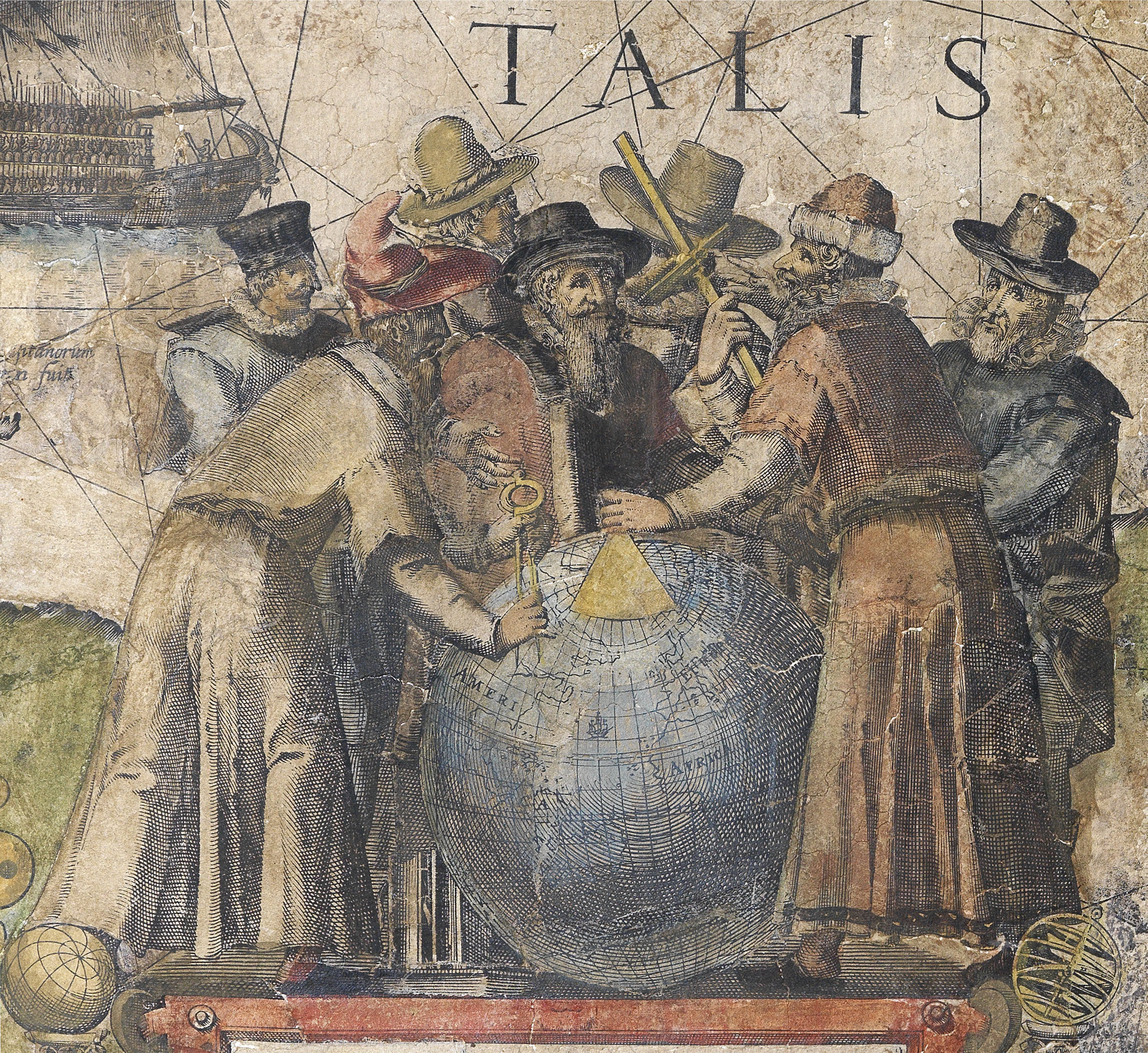
The son of an established printer – publisher Jan Jansz., Johannes Janssonius, was Willem Jansz. Blaeu’s main rival. In 1618, he set up his own cartographic publishing firm on the Damrak, the central canal and commercial hub of Amsterdam. In 1612, he married Elisabeth de Hondt, the daughter of Jodocus Hondius,… another of Blaeu’s competitors. “Theirs was a rivalry which soon grew to include accusations of plagiarism and theft of intellectual property, a state of affairs not helped by Blaeu’s use of the name “Jan Zoon” to sign his works” (Martin Woods).
These two publishing houses, and Jodocus Hondius’s son, Henricus, strove constantly to outdo each other in the race to publish a multi-volume atlas, that would replace those of Abraham Ortelius and Gerard Mercator.
In 1570 Abraham Ortelius had published the first edition of his single volume atlas, Theatrum Orbis Terrarum, the first collection of maps with a uniform size and style. It was an immediate success. Gerard Mercator, the inventor of the projection named after him, began in 1585 to produce a series of Tabulae Geographicae of differing European countries. This culminated in 1595 in the Atlas Sive Cosmographicae, the first use of the term “Atlas”. It contained one hundred and seven maps of the world, and was completed by his son Rumold, Gerard having died the year before. There was one further edition in 1602, before the plates were acquired by Jodocus Hondius I. He published it as Gerardi Mercatoris Atlas Sive Cosmographicae in 1606 with 37 newly engraved maps, taking the total to one hundred and forty-four. Publication had moved from Duisburg to Amsterdam and the first few editions were in Latin. With this atlas Jodocus established the Hondius publishing house in Amsterdam, the center of cartographic production in the late sixteenth century, and built a successful publishing career from his Mercator-Hondius atlas.
“After his father’s death in 1612, Jodocus Hondius II and his brother, Henricus, took over the family business and began to publish their own atlases, including maps that had previously belonged to their father. Unfortunately, in 1621 Jodocus Hondius II split with his brother, creating a rival publishing house. Henricus Hondius continued his father’s business with his brother-in-law, Joannes Jansson” (Krogt). By 1629 the Blaeu family were becoming serious rivals to the publishing partnership of Jan Jansson and Hendricus Hondius, so they “set about revising the Mercator-Hondius atlas which (in respect of the world map) had continued unchanged for nearly thirty-five years” (Shirley 336).
Although Janssonius’s first independent work was an edition of Blaeu’s Licht der Zeervaert in 1620, he is first associated with the Mercator-Hondius atlas in 1633, when the French edition includes his name on the title-page. The Dutch editions of 1634, 1638 and 1647 were published by Janssonius alone; but the English edition, 1636, the Latin of 1638, were issued by both Janssonius and Hondius. After 1638 the name of the atlas changed to Atlas Novus…, and from 1649 Hondius’s name no longer appears on the title-page or preface. In time, Janssonius would add a fifth volume, the Atlas Maritimus, 1657, a significant sea-atlas; and eventually, a further five volumes including maps from every corner of the globe, by about one hundred credited authors and engravers. The final, eleventh volume, Andreas Cellarius’s celestial atlas, completed the Atlas Major in 1660.
As a companion to the Atlas Major, in 1658, Janssonius, published an eight-volume atlas of plans of the major towns of the world, using many of the same plates as in Braun and Hogenburg’s Civitates orbis terrarium, with others based on those of Blaeu.
Janssonius died in July of 1664. “Heirs to all his goods were his daughters Elisabeth, married to Johannes van Waesberghen, and Maria, married to the clergyman Johannes ab Almeloveen, each for a third part, and the four children of his deceased son Jodocus for the remaining third part. As guardians of these four children under age and executors of his will, he appointed his sons-in-law, together with Isaac Commelin, bookseller. He disposed further, that the goods he left, as well shopgoods and printing-office as furniture, should be held jointly for three years, but the Atlas and the Townbooks for six years after his death. For the management of the bookshop and printing-office he recommended his son-in-law Johannes van Waesberghen. The heirs proceeded with publication of the Atlas; various maps of the Atlas major, bear the address: “Haeredes Joannis Janssonii”. Many maps of the Visschers and of Frederik de Wit were added to those already published by Johannes Janssonius… The plans and views, without text, are derived from the great Townatlas of J.J. but with some alterations. In 1694, “all the copperplates belonging to the great Atlas and Townbooks of the late Joannes Janssonius, containing three volumes more than the other atlases, viz. the Waterworld, the Ancient World and the Celestial World”, were sold” (Johannes Keunig).
Sign up to hear about our latest acquisitions, exhibitions and events
Find Us
New York
PO Box 329, Larchmont, NY, USA
Opening hours, London Gallery
Monday to Friday: 10:00 – 18:00
Saturday: by appointment
Closed: all bank holidays and 1-31 August
Opening hours, New York
By appointment only