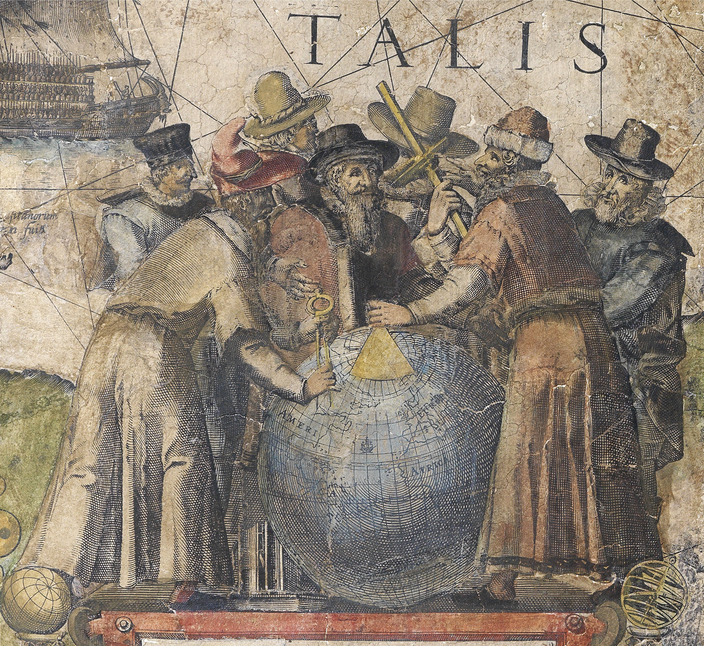
Hendrik Doncker
(c1626 - 1699)

An innovator among the first generation of Dutch mapmakers to publish the previously proprietary information of the VOC cartographers, Doncker worked hard to produce up-to-date charts for a wide audience, which were prized for their accuracy and precision, reducing the lag between discovery and disclosure (Martin Woods).
For many years, from 1655, he collaborated with Pieter Goos (1616-1675) and Theunis (or Anthonie) Jacobsz Lootsman (c1606 – 1650), on their guide for navigators, De Zeespiegel, issuing examples of the atlas with his own imprint. From 1664 he published his own version of the atlas with an entirely new set of charts. However, his greatest work was his Zee-Atlas of 1659. Surprisingly, the first edition is known in only one example, at the National Library in Australia. His introduction to the work illuminates the power of its success:
“Lovers of praiseworthy Sea-Navigation. Just as I have manufactured, and sold, graduated arcs, angle arcs, and Davis quadrants, and have on occasion satisfied a demand for sea-charts, this has motivated and moved me to create a Sea Atlas, or Water-World, in which is shown and noted all the Sea-Coasts of the known countries of the world. But after the sea-charts are used on board of ships and differences are observed regarding present-day conditions by skippers and navigators, I request that if someone has made observations that should be incorporated, or found mistakes that should be corrected in the next issue of the sea-chart, these to be handed to me or made known to me, in order to enable me to, should that be necessary, in service to all mariners”.
Doncker’s Zee-Atlas was preceded by that of Arnold Colom, but surpassed it and another rival publication by Johannes Janssonius, in its scope and practicality to navigators. As a result, and as Koeman notes: “Doncker’s charts were the most up-to-date in the second half of the seventeenth century. Although there is some similarity to those charts published by Van Loon, Goos, Lootsman, and Doncker, the latter’s charts are original. More frequently than … [his] contemporaries, Hendrik Doncker corrected and improved his charts. He often replaced obsolete charts by new ones … This consciousness of the high demands of correctness is reflected by the development of Doncker’s sea atlas”.
The Zee-Atlas was immensely popular, and remained in print for fifty years. Doncker’s son, also Hendrick, took over the business after his father’s death, and was still publishing editions of his father’s atlas in the early 1700s. Eventually his stock was sold to Johannes van Keulen.
 Rare Maps
  Rare Atlases
  Rare Books
  Rare Prints
  Globes and Planetaria


