 Rare Maps
  Rare Atlases
  Rare Books
  Rare Prints
  Globes and Planetaria
 Sign up to hear about our latest acquisitions, exhibitions and events


Find Us
New York
PO Box 329, Larchmont, NY, USA
Opening hours, London Gallery
Monday to Friday: 10:00 – 18:00
Saturday: by appointment
Closed: all bank holidays and 1-31 August
Opening hours, New York
By appointment only
Opening hours

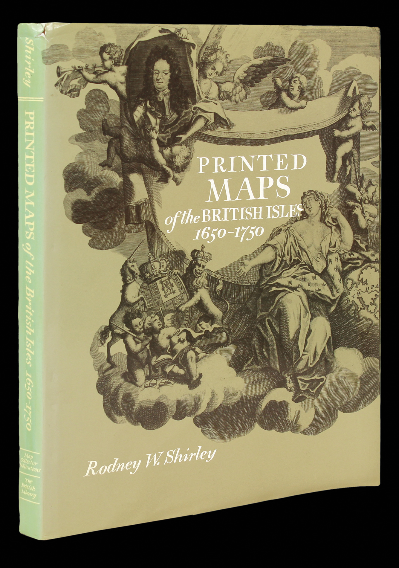

Shirley's cartobibliography of the British Isles
Printed Maps of the British Isles, 1650-1750
- Author: SHIRLEY, Rodney
- Publication place: Tring, Hertfordshire
- Publisher: Map Collector Publications Ltd.
- Publication date: 1988.
- Physical description: Hardcover, 168 pages.
- Inventory reference: 2046
Notes
A bibliographical study of over 280 general maps of the British Isles printed between 1650-1760, including antecedents, makers and engravers, topographical and decorative features, and successor states of each map.
Image gallery
Related items


/
Sign up to hear about our latest acquisitions, exhibitions and events
Find Us
New York
PO Box 329, Larchmont, NY, USA
Opening hours, London Gallery
Monday to Friday: 10:00 – 18:00
Saturday: by appointment
Closed: all bank holidays and 1-31 August
Opening hours, New York
By appointment only